- Home
- >
- Maps and atlases
- >
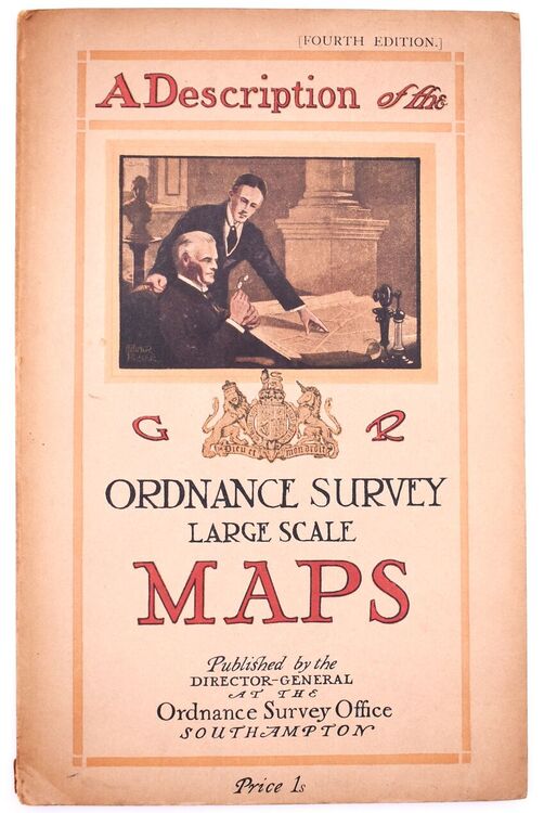
- A DESCRIPTION OF THE LARGE SCALE MAPS OF GREAT BRITAIN Produced And Published By The Ordnance Survey With Specimens, Symbol Sheet, And Diagrams
A DESCRIPTION OF THE LARGE SCALE MAPS OF GREAT BRITAIN Produced And Published By The Ordnance Survey With Specimens, Symbol Sheet, And Diagrams
| Condition | Good |
|---|---|
| Edition | 4th Edition |
| Jacket Condition | No Jacket |
| Binding | Soft cover - 20 pages |
| Published | Ordnance Survey, Southampton 1930 |
| Our Ref # | 105862 |
Description
Other Books In This Category
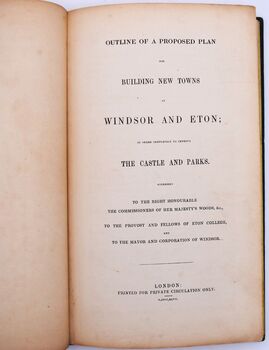
Outline Of A Proposed Plan For Building New Towns At Windsor And Eton; In Order Completely To Improve The Castle And Parks. Addressed To The Right Honourable The Commissioners Of Her Majesty's Woods, &c., To The Provost And Fellows Of Eton College, And To
Exceptionally scarce speculative plan to rebuild Windsor and Eton towns, considering the present dec..
£375.00
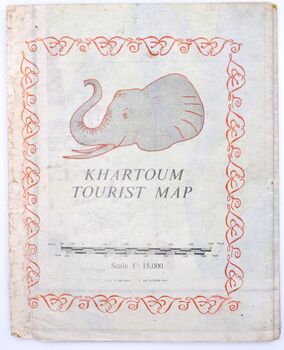
Khartoum Tourist Map Scale 1:15,000
Well produced colour map showing Khartoum as it was in the early 1960s. Some wear to edges, but not ..
£35.00
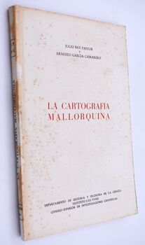
La Cartografina Mallorquina
Good guide to the mapping of Majorca. Label residue to first blank and some staining to first page o..
£10.00
MRS P'S JOURNEY The Remarkable Story Of The Woman Who Created The A-Z Map
Hartley's entertaining biography of the extraordinary Phyllis Pearsall is, bar light toning to stock..
£10.00


