Maps and atlases
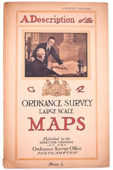
A DESCRIPTION OF THE LARGE SCALE MAPS OF GREAT BRITAIN Produced And Published By The Ordnance Survey With Specimens, Symbol Sheet, And Diagrams
Fourth edition of the OS guide to its maps, complete with fold-out charts and other plates as requir..
£10.00
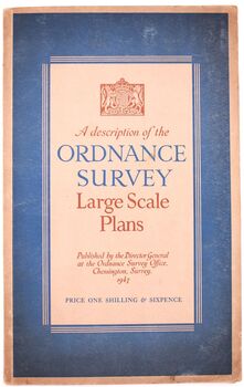
A Description Of The Ordnance Survey Large Scale Plans
Post war edition of the OS guide to its maps, complete with fold-out chart and other plates as requi..
£9.75
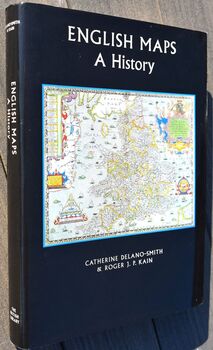
ENGLISH MAPS A History
Excellent and well-illustrated study in fine, clean and bright condition throughout. No inscriptions..
£10.00
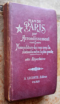
Guide Indicateur Des Rues De Paris
Small format Parisian street atlas with index, individual arrondissement maps and large folding plan..
£10.00
HARMSWORTH UNIVERSAL ATLAS AND GAZETEER [3 volumes]
ND. c.1907. Lacks title page and maps, but otherwise complete in three volumes with 210 double-page ..
£80.00
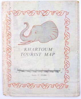
Khartoum Tourist Map Scale 1:15,000
Well produced colour map showing Khartoum as it was in the early 1960s. Some wear to edges, but not ..
£35.00
La Cartografina Mallorquina
Good guide to the mapping of Majorca. Label residue to first blank and some staining to first page o..
£10.00
MRS P'S JOURNEY The Remarkable Story Of The Woman Who Created The A-Z Map
Hartley's entertaining biography of the extraordinary Phyllis Pearsall is, bar light toning to stock..
£10.00
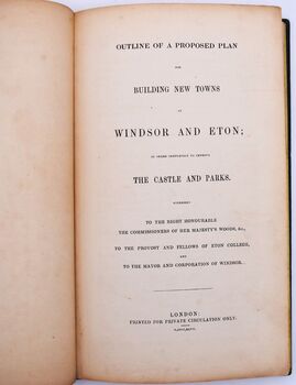
Outline Of A Proposed Plan For Building New Towns At Windsor And Eton; In Order Completely To Improve The Castle And Parks. Addressed To The Right Honourable The Commissioners Of Her Majesty's Woods, &c., To The Provost And Fellows Of Eton College, And To
Exceptionally scarce speculative plan to rebuild Windsor and Eton towns, considering the present dec..
£175.00
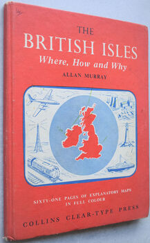
The British Isles. Where, How and Why
In very good internal order bar ink marking to title page. Clear and bright illustrations throughout..
£5.00
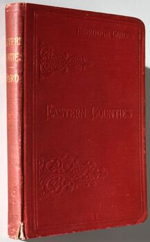
THE EASTERN COUNTIES With A Practical Section On The Rivers And Broads
Sixth edition of this well produced guide, with 19 maps and plans. Pink and blue pages before main s..
£7.50

![HARMSWORTH UNIVERSAL ATLAS AND GAZETEER [3 volumes] HARMSWORTH UNIVERSAL ATLAS AND GAZETEER [3 volumes]](https://www.dodmanbooks.com/image/cache/catalog/book/004597-350x350.jpg)
