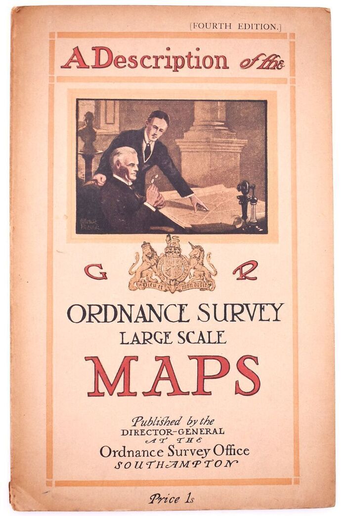
A DESCRIPTION OF THE LARGE SCALE MAPS OF GREAT BRITAIN Produced And Published By The Ordnance Survey With Specimens, Symbol Sheet, And Diagrams
If you would like more images of a book, please contact us.
| Condition | Good |
|---|---|
| Edition | 4th Edition |
| Jacket Condition | No Jacket |
| Binding | Soft cover - 20 pages |
| Published | Ordnance Survey, Southampton 1930 |
| Our Ref # | 105862 |
Description
Fourth edition of the OS guide to its maps, complete with fold-out charts and other plates as required. All in VG, clean and bright internal order. Stiff card decorated boards bumped to base of spine and a little toned, moreso to rear. 4to. 20pp + plates